GUATEMALA CITY — Eruptive activity at Guatemala's restless Fuego volcano has begun to taper off following days of heightened volcanic behavior that forced widespread evacuations across nearby communities.
The National Coordinator for Disaster Reduction (CONRED) reported that eruptive intensity has dropped noticeably since the volcano surged to life early Monday.
"The eruptive activity continues, and it is recommended to follow the authorities' instructions regarding preventive evacuation," CONRED stated in an official advisory.
Heavy Rain and Lahars Present New Threat
Meteorologists and volcanologists are closely monitoring a tropical wave approaching from the east, which is expected to bring widespread heavy rainfall to the region.
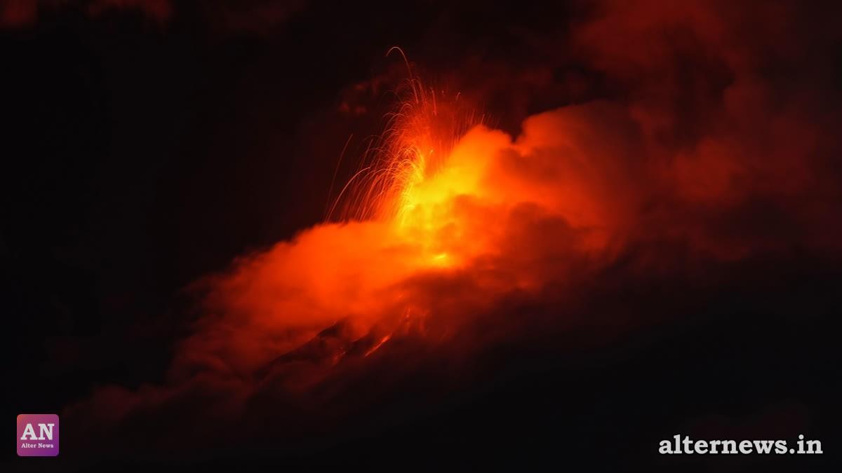
At the height of the eruption between Monday and Tuesday, Fuego hurled fountains of glowing lava up to 300 meters (984 feet) above its summit crater, generating towering plumes of grey ash. The sudden escalation prompted regional authorities to issue red alerts, shut down a major national highway, and temporarily suspend school classes across three departments.
Displaced Communities and Return Efforts
Approximately 1,700 residents were evacuated from at least 18 vulnerable communities situated along the slopes of the peak, known locally as the "Volcano of Fire".
While CONRED confirmed that some evacuated residents began returning voluntarily to their homes as visible lava flows abated, disaster crews urged caution and reminded citizens that safety advisories remain in full effect.
A Shadow of Past Tragedies
Fuego, standing at 3,768 meters (12,300 feet) above sea level, ranks among Central America's most active stratovolcanoes.
The recent activity stirred grim memories of the catastrophic June 3, 2018 eruption, when violent pyroclastic flows swept down the volcano's flanks without adequate warning, burying the town of San Miguel Los Lotes, killing hundreds of people, and impacting an estimated 1.7 million residents.
Although current monitor readings show periods of relative clarity between ash bursts, monitoring stations equipped with seismic instruments and live video cameras remain on high alert.