UNITED NATIONS — In a historic step toward correcting centuries of visual bias, the United Nations General Assembly has passed a resolution endorsing a new world map projection that accurately depicts the true scale of the African continent.
The resolution, titled "Correct The Map," was spearheaded by Togo and supported by the African Union.
Correcting a 450-Year-Old Distorted Lens
The move targets the widely used Mercator projection, created in 1569 by Flemish cartographer Gerardus Mercator.
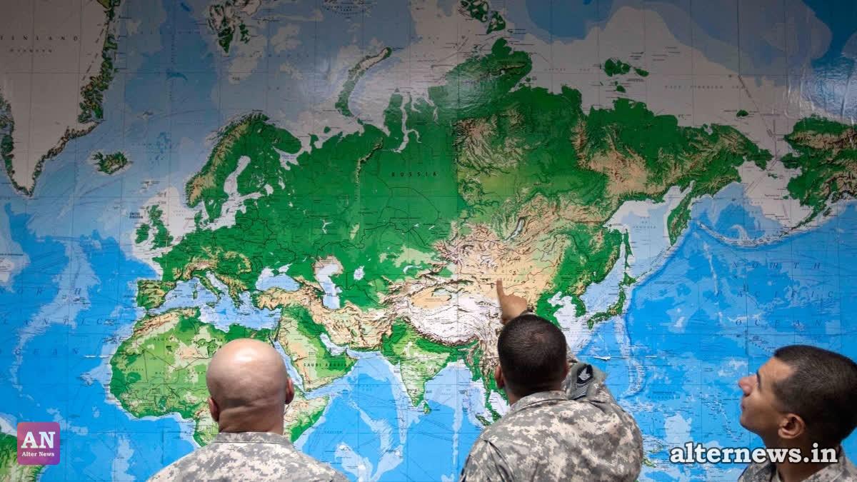
Under the traditional Mercator view, regions near the poles—including North America, Europe, and Greenland—are drastically enlarged, while equatorial landmasses such as Africa and South America appear compressed.
The Reality Gap: On a standard Mercator map, Greenland appears roughly the same size as Africa.
In actual landmass, Africa is 14 times larger than Greenland. Other Discrepancies: Alaska looks equivalent in size to Brazil on Mercator projections, whereas Brazil is actually nearly five times larger.
The UN resolution urges governments, schools, newsrooms, and digital platforms to transition toward the Equal Earth projection—a pseudocylindrical map designed in 2018 that preserves relative area sizes while maintaining natural-looking land shapes.
"A Fair World Begins with a Fair Map"
Ahead of the UN vote, Togolese Foreign Minister Robert Dussey emphasized the deep psychological and cultural impact of cartographic representation.
"Maps shape our understanding of the world. They guide education, nourish the imagination, and influence collective perceptions," Dussey stated, adding: "A fair world begins with a fair map."
Advocacy organization Africa No Filter, a primary campaigner for the reform, celebrated the vote as a victory against colonial-era legacies.
French Foreign Minister Jean-Noël Barrot also welcomed the vote, announcing France’s intention to move away from Mercator map usage in official communications.
Non-Binding Guidance, Not a Ban
The United Nations clarified that Friday's resolution is not legally binding and does not outlaw the Mercator projection.
Instead, the resolution serves as diplomatic guidance for education, public media, commercial publishers, and tech giants operating global mapping and GPS applications to adopt equal-area maps for general visual reference.
Togo announced plans to update its national school geography curriculum by the end of the year and intends to convene regional workshops over the next six months to coordinate global outreach across educational and technology sectors.